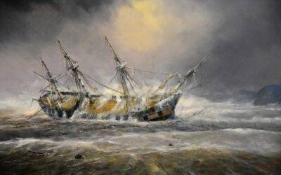
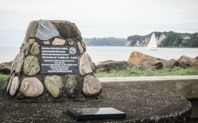
In July 1840, the British naval ship, HMS Buffalo, took shelter in Mercury Bay, Whitianga, New Zealand to weather out an incoming storm. When the storm hit, it was described as ‘hurricane strength’ and resulted in the vessel becoming a total loss on what is now known as Buffalo Beach.
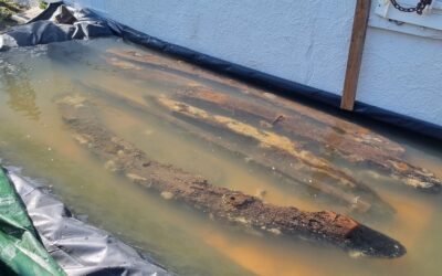
The shipwreck lies completely submerged in around 3 metres of water and about 50 metres offshore at low tide. It is in an area of water where tides and prevailing easterly swells constantly expose and rebury the hull remains. The shallowness sometimes causes difficult diving conditions for collecting scientific data as was experienced during the site’s recent underwater archaeological survey.
In 2021, the HMS Buffalo Re-examination Project in partnership with the Mercury Bay Museum digitally recorded the HMS Buffalo shipwreck.
Maritime archaeologists and Project co-directors, Dr Kurt Bennett and Matthew Gainsford, along with 12 volunteer divers, spent a weekend documenting the wreck.
For the first time, HMS Buffalo is seen in detail and can now be explored from your own computer or hand-held device.
To create a 3D digital model using photogrammetry, requires taking photographs with approximately 60% overlap with each one. Bennett says “over 14,000 images were taken during the weekend. The high number is reflective of the challenging conditions faced with near zero visibility and a rolling swell while ensuring there was enough overlap with each photo”.
Dr Arie Spyksma from New Zealand Geographic, with support from Live Ocean Foundation, processed the images and produced the 3D model. “Post processing has taken well over 160 hours and required special computer hardware. The result shows amazing detail of the ship and approximately 70% of the preserved hull. It also highlights the diverse marine biota that has colonised the exposed wreck surfaces.”
Bennett who has studied the wreck previously, said “the result is fantastic! The individual features of the ship, from bow to stern, can now be viewed in a wider context and from different angles. As such, our understanding about how these early-19th century vessels were constructed is greatly increased”.
The model now forms an important record of the site’s condition and changes in the environment. “What this model shows is a snapshot in time. It is how the wreck looked in early 2021 and displays the site’s archaeological and environmental values” says Gainsford.
Going forward the model will be a valuable resource for Regional Council, Conservation and Heritage organisations to manage and monitor the protected archaeological site.
Gainsford highlights, “it will continue to serve as an important baseline dataset for future management and to assess how the site changes over time, particularly through the effects of climate change.”
“To understand these changes, it will be important to periodically monitor the site”.
It is planned the model will be used in a new Buffalo exhibition at the Mercury Bay Museum and be incorporated into virtual reality experiences for school groups—further promoting the local history curriculum. “Not only can it be used for education at a local level but it also allows researchers from all over the globe to interact with this heritage site” says Rebecca Cox, museum manager and co-director of the Project. “Importantly, it allows the British Navy and other nations to reconnect with their ship and see how we are preserving the site digitally as a form of shared heritage”.
The ship also has significant historical ties to India, Canada and Australia.
The model is now publicly available online (HMS Buffalo 3D Model) and makes the underwater site accessible to the non-diving community for exploring the shipwreck.
“For the first time, the hull is shown in detail and this means people of any age can virtually dive on the wreck and experience its history and marine life”, says Cox.
In 2020, the Project was awarded the Australasian Institute for Maritime Archaeology Scholarship which provided seed funding for the fieldwork component. Donations and in-kind support from local businesses and community contributed to enabling the field work to go ahead. Rebecca adds “to have the community rally around us like they did show they care a lot about their maritime heritage, even during the struggles of Covid. Without the extra support, this project would not have been successful”.
The success of the Project and its achievements have been recognised with the 2022 New Zealand Archaeological Association Public Archaeology Award and the International Australasian Society for Historical Archaeology Martin Davies 2023 Award for best public archaeology initiative. The digital model was produced in association with New Zealand Geographic and Live Ocean Foundation.


